- €480,000 grant awarded by France to EarthDaily for satellite monitoring of Ukraine's wartime harvests
- $80 billion in estimated losses to Ukraine's agricultural sector since the conflict began
- Up to 25% of agricultural fields inaccessible due to hostilities and mine contamination
Experts agree that real-time satellite monitoring is crucial for stabilizing Ukraine's food production and global food markets amid wartime disruptions.
France Funds Satellite Firm to Monitor Ukraine's Wartime Harvests
TOULOUSE, France – March 25, 2026 – In a move blending advanced technology with geopolitical strategy, the French government has awarded a €480,000 grant to Earth observation firm EarthDaily to provide critical agricultural intelligence to Ukraine. The funding, part of a broader French initiative to support both global stability and its own tech sector, will deploy sophisticated satellite analytics to monitor the nation’s food production systems amid severe wartime disruption.
The project aims to equip the Ukrainian Ministry of Economy, Environment and Agriculture with near real-time data on crop health and yield forecasts, a vital tool for a country whose agricultural sector has been devastated by conflict but remains a cornerstone of both its economy and global food supply.
A Strategic Lifeline for a Global Breadbasket
Ukraine's agricultural prowess, which once earned it the title of a global breadbasket, has been under relentless assault. Since the conflict began, direct losses and damages to the sector have surpassed an estimated $80 billion. By early 2025, destroyed assets alone, including machinery and crucial grain storage facilities, were valued at over $11 billion. The war has rendered vast swathes of farmland unusable, with some estimates suggesting that up to a quarter of agricultural fields were inaccessible in recent years due to active hostilities and extensive mine contamination.
This new initiative directly addresses the resulting uncertainty. EarthDaily will provide in-season crop area estimates and yield trends at the regional (Oblast) level for key commodities, including winter wheat, winter barley, winter rapeseed, sunflower, and corn. For a government grappling with logistical nightmares, damaged infrastructure, and volatile markets, this data provides an objective, large-scale view of what is happening on the ground. Such intelligence is crucial for safeguarding harvests, managing domestic food supplies, and providing transparent data to stabilize global market expectations.
“Reliable agricultural intelligence is critical for food security, economic stability, and global commodity markets,” said Cécile Tartarin, General Manager, Europe, at EarthDaily, in a statement. “We are honored to support the Ukrainian Ministry of Agriculture with the data and insights needed to understand crop conditions in near real time safeguarding its harvests, stabilizing market expectations and maintaining its vital role in global food production.”
Eyes in the Sky: The Technology Behind the Mission
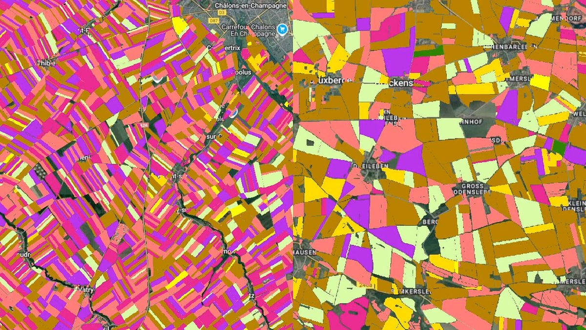
At the heart of the project is EarthDaily's cutting-edge technology, which combines a forthcoming satellite constellation with decades of agricultural analytics expertise. The grant was awarded to GEOSYS, a French company with a 30-year history in agricultural geoanalytics that was acquired by EarthDaily in 2021 and now operates as its agricultural intelligence division.
This summer, the company is set to make its new EarthDaily Constellation operational. This fleet of satellites is engineered to deliver what the company calls science-grade, analysis-ready imagery of the Earth's entire landmass every single day. The system’s imagers capture data across more than 20 spectral bands—from visible light to thermal infrared—at a five-meter resolution. This rich, multi-layered data allows for a far more nuanced analysis of crop health than traditional methods.
While standard satellite monitoring can track vegetation greenness, EarthDaily's system is designed to power advanced artificial intelligence models that can detect subtle signs of crop stress from drought or disease, estimate soil moisture, and ultimately forecast yields weeks or even months ahead of harvest. The company's “EarthPipeline” is built to process the massive daily data intake—projected at 100 terabytes—into a format optimized for these complex AI applications.
France's Dual-Pronged Strategy: Aid and Industry
The €480,000 grant stems from the French Ministry of Economy's FASEP program (Fonds d'Études et d'Aide au Secteur Privé), a tool designed with a dual purpose. Specifically, it falls under the “FASEP Innovation Verte” (Green Innovation) banner, which finances demonstrator projects for French companies deploying green technologies to solve pressing challenges in developing or crisis-stricken nations.
The program’s objectives are twofold. First, it delivers tangible aid by showcasing the effectiveness of a French technological solution to a critical foreign need—in this case, Ukraine's food security. Second, it serves as a powerful catalyst for French industry, providing a company with its first crucial international reference in a high-stakes environment. This success can pave the way for future commercial contracts and large-scale deployment.
This strategic approach is a key part of France's foreign and economic policy, aiming to leverage its industrial strengths to project influence and foster long-term partnerships. The FASEP steering committee includes representatives from French retailers, AgTech firms, and financial institutions, ensuring that the project's insights also feed back into the broader French economic ecosystem and create paths for future adoption of the technology.
Navigating a Competitive Digital Landscape
EarthDaily operates in an increasingly competitive market for Earth observation. Companies like Planet Labs have already established a strong presence with their own constellations of satellites providing high-frequency imagery for agricultural and environmental monitoring. However, EarthDaily is positioning itself to stand out through the scientific quality of its data.
While competitors also offer daily revisits, EarthDaily's emphasis on over 20 finely-tuned spectral bands and rigorous calibration is designed to provide a deeper, more reliable dataset for AI-driven analytics. This allows for the development of more sophisticated models that can answer complex questions about crop health, soil conditions, and water stress. The integration of GEOSYS's deep domain knowledge in agriculture provides a critical layer of expertise, ensuring the raw data is transformed into actionable intelligence tailored specifically for farmers, insurers, and governments.
The project in Ukraine will serve as a powerful, real-world demonstration of these capabilities. By applying its most advanced tools to one of the world's most challenging agricultural environments, EarthDaily is not only providing humanitarian support but also building an undeniable case for the power of its technology. The success of this initiative will be watched closely by governments and agribusinesses worldwide, as it promises to bring unprecedented transparency to one of the most vital, and volatile, sectors of the global economy.
Topics & Related
Software & SaaS
Artificial Intelligence
Revenue
Related Company Pulse